


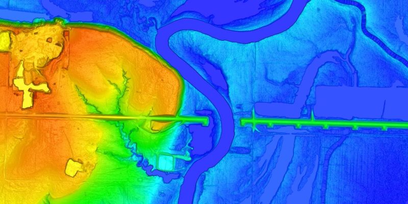
Fugro has won a geo-data acquisition contract to support the World Bank in assisting the Government of Romania to prepare national flood hazard and risk maps, as well as flood risk management plans. The contract, part of an ongoing technical assistance provided by the World Bank to the Romanian Ministry of Environment, Water and Forests, will aid World Bank efforts in advancing flood hazard and risk mapping to help Romania meet the requirements of the EU Floods Directive 2007/60/EC.
Romania is one of the European countries most at risk of flooding, and climate change is expected to increase both the frequency and magnitude of extreme events. Under this contract, Fugro will provide accurate digital terrain models, digital surface models and orthoimagery over an area of nearly 30,000 km² and will survey around 13,300 cross sections, and 3500 bridges and hydrotechnical infrastructures, within 11 river basin administrations and the Danube river. The data collected will be crucial for flood hazard and risk mapping efforts.
Fugro and their local partners will perform a range of surveys, including: airborne lidar and bathymetry of inland rivers and the seashore to create digital terrain and surface models; aerial imagery for high-resolution orthophotography mapping; and topographic surveys of all hydrotechnical and engineering structures that interact with and have influence on selected river flows. The World Bank will use the acquired geo-data for hydraulic modelling and flood hazard mapping to support the implementation of the second and third stages of the second cycle of the EU Floods Directive for the Romanian Ministry of Environment, Waters and Forests and the National Administration “Romanian Waters” (ANAR). In addition, flood hazard and risk mapping will help inform policy decisions for flood prevention.
Huug Haasnoot, Fugro’s Director for Land Asset Integrity in Europe and Africa, said: “We are delighted to have been awarded this project by the World Bank. The results of our work will support the development of flood hazard and risk maps that will contribute to Romania’s flood risk management plans and safeguard water security for their people, economy and environment.”
Also Read:
Nigeria: Trenchless technology to curb floods, gridlocks
GIS for appropriate flood risk planning in Sudan
Africa to Set up Funding Bank for Oil and Gas Projects
OMV Petrom hires ABL for Neptun Deep Gas Field Project
Enhancing Construction Site Safety with GNSS Systems


