


The process of obtaining an offshore seismic survey permit begins with an application. This document must be submitted to the Bureau of Ocean Energy Management (BOEM). The review timeframe will vary depending on the region and the type of survey. BOEM will also need to review incidental take authorizations from the Department of Commerce and the Interior. If these are all granted, the seismic survey can begin. For those planning an offshore seismic survey, understanding this permit process is crucial.
Permit Approval and Survey Commencement
The Bureau of Ocean Energy Management will then send the permit to the marine exploration company. The seismic survey is a process that involves sending sound pulses into the ocean. Sound waves reflect off the seafloor, and special equipment reads them to determine potential oil or gas reserves. During the survey, scientists study the sounds that marine animals make. This information helps them avoid predators and locate mates. Scientists then analyze the resulting data to detect oil deposits, often during offshore seismic survey operations in energy exploration.
Seismographic Acquisition Methods
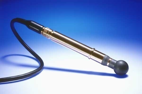
There are several methods of seismographic acquisition. The single streamer cable method is the most basic and cost-effective method. A cable is paid out from the aft of the vessel and towed along a track line. Hydrophones and air guns are used to collect the required data. “Hydrophones are sensors that detect seismic waves in water bodies. They are to water what geophones are to land. They could be coupled with geophones if the seismic line traverses water,” says ‘Mma Azubuike Okezie, Managing Director, Geomarine Systems Limited. The single streamer cable method gives the user a general idea of the subsea surface and is less expensive than a 3D seismic survey. Furthermore, offshore seismic survey techniques often utilize these methods for accurate mapping.
Offshore Seismic Survey Efficiency and Applications
The Offshore Seismic Survey is the most cost-effective way to map oil and gas reserves. This method works by locating subsurface structures and recording refraction and reflection data. The survey requires more than one source, which is why more WGs are used to collect data. “Seismic survey is the pre-eminent way to map the subsurface to detect the presence of potential oil and gas accumulations. it is the first and most important step in the actual process of oil and gas exploration, of course after the initial gravity survey to find candidate basinal structures,” comments ‘Mma. Besides, the method can image deeper subsurface interfaces. It is a good method to detect oil reserves. However, the process is costly and time-consuming.
Comparative Overview of Streamer Cable Methods
Uganda to construct the first Lake Victoria power submarine cable
Egypt plans to extend submarine fiber-optic cable with Greece at a cost of US$60 million
Fugro commence shallow water survey for 2Africa Fiber-Optic Cable Project
Hexagon Streams Bluesky GB Aerial Photography via HxGN Content Program
Bureau Veritas delivers Approval in Principle to DriX – an innovative Unmanned Surface Vessel


