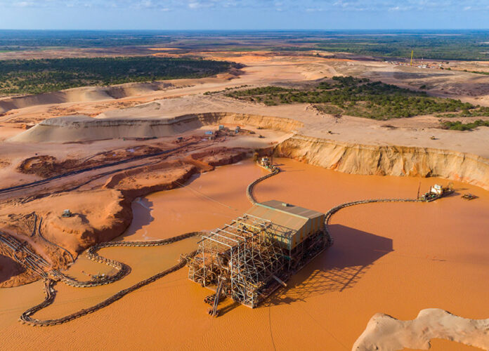
In Africa, a vast amount of land is still unmapped. Using drones, this can be easily achieved at a fraction of the cost. This allows for fast and accurate mapping in both 2D and 3D. This technology can be used by a number of industries, including construction, land surveying, mining, inspection, agriculture and forestry, emergency management and humanitarian response.
Aerial Surveying in Africa
The use of drones for aerial surveying in Africa has been increasing significantly. It has become a more environmentally friendly form of surveying, which is ideal for remote and difficult-to-reach areas. UAVs are also more flexible, allowing them to access areas that would otherwise be difficult or impossible for manned aircraft.
One of the major technological breakthroughs that has been made in the field of aerial surveying is the use of LiDAR (Light Detection And Ranging) sensors. This helps to see through trees and ground cover, which can make it harder for an aerial vehicle to capture detailed and accurate imagery.
This type of sensor is essential for highly accurate surveys like mineral exploration, geophysical surveying and environment monitoring. It has also made it possible to collect high-density point cloud data for use in Geographic Information Systems.
Aerial Digital Imagery
The use of aerial digital imagery has been increasing in Africa over the years. This is mainly because it is faster and easier to collect than traditional analogue techniques, as well as providing excellent spatial and spectral resolutions.
During the past decade, Africa has witnessed a significant change in the aerial digital imagery sector. This was primarily because of the development of a number of different specialized sensor technologies which allow for a range of different applications.
Another key change in the aerial digital imagery sector has been the emergence of new software and algorithms that allow for greater accuracy and efficiency. Moreover, this has enabled users to have more flexibility when it comes to the way they use this data.
Aerial digital imagery can also be used for more precise crop surveys, such as when determining the crop yield in a given area or analyzing the effects of different soil types. This can help farmers to better manage their crops in order to maximize their yield.
It can also be used for assessing the condition of a site and identifying potential hazards. This helps to protect the environment and improve the safety of both people and animals.
The development of drones with advanced imaging technologies is changing the way we do surveys in Africa and globally. This has created a market that is growing rapidly and is expected to continue doing so in the coming decades.
This is an important tool for the world to have when it comes to aerial surveys, as it allows us to get more accurate and detailed data without spending as much money on it. It has also been proven to be safer and more efficient than traditional methods.


